By Lindsay DeDario and Rich McKay
BUFFALO, N.Y. (Reuters) -National Guard troops trudged door-to-door on Wednesday looking for winter storm victims who may be unaccounted for in parts of Buffalo hit by prolonged power outages, after a deadly Christmas blizzard that buried New York’s second-largest city in blinding snow.
The fiercest blizzard to strike western New York in 45 years was part of a wider winter storm front and arctic blast that drove freezing temperatures as far south as the Mexican border for days, leaving scores dead nationwide, including at least 38 in the Buffalo area.
Many of the dead in and around Buffalo, which lies at the western edge of Lake Erie near the Canadian border, were found frozen in cars or in snowbanks, while some died from cardiac arrest while shoveling snow, according to Mark Poloncarz, the Erie County executive.
Poloncarz updated the death toll from the blizzard on Wednesday, reporting 37 deaths in Erie County, with one other storm-related fatality in neighboring Niagara County.
An unspecified number of the victims had yet to be identified. The city of Buffalo accounted for 29 of the dead.
Poloncarz said the National Guard was conducting wellness checks in each neighborhood of Buffalo and its suburbs where electricity was out for lengthy periods, looking for anyone who may have suffered hypothermia or some other medical distress while trapped indoors without power and heat.
“We are fearful there are individuals who may have perished living alone, or two people who are not doing well in an establishment, especially those who still don’t have power,” he told reporters.
He said paramedic squads would also visit every household where residents had called the county’s special snowstorm hotline for help but were beyond the physical reach of emergency personnel at the height of the blizzard.
By late Wednesday night, Guard troops had checked on 850 homes, Poloncarz said.
Virtually all electricity had been restored by Wednesday evening throughout Erie County, with just 62 customers that utility crews hoped to have back in service in a matter of hours, he said.
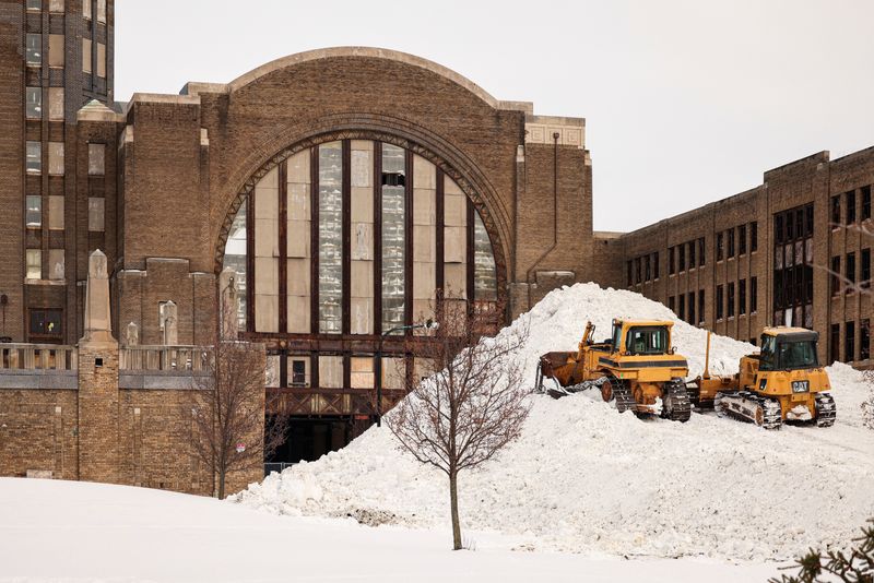
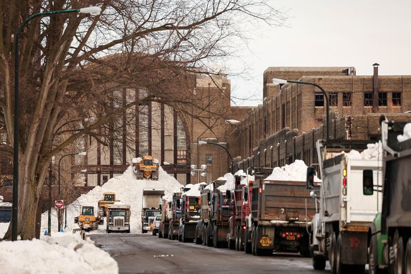
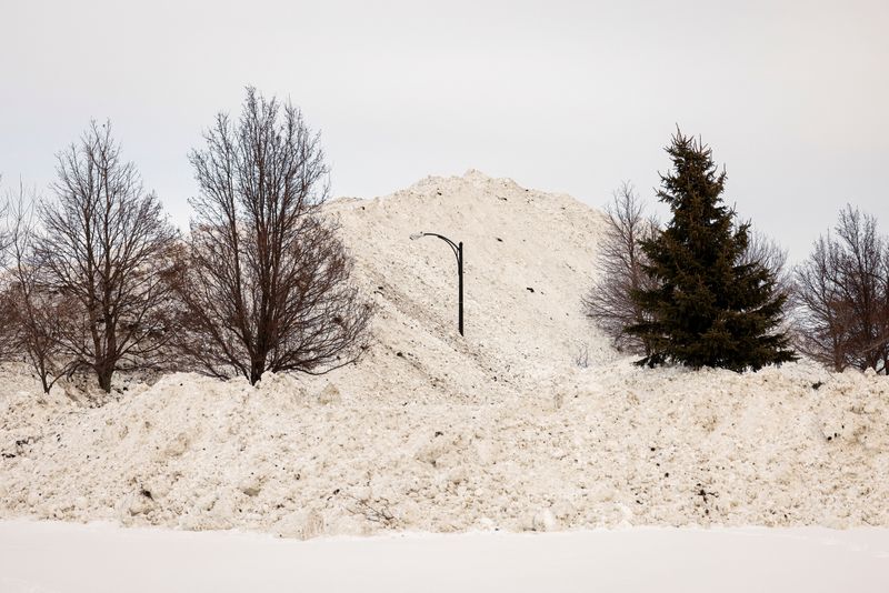
At the same time, nearly 80 front-end loaders were working around the clock to shovel tons of snow into about 120 dump trucks to be hauled to disposal lots. The goal was to get at least one lane of traffic open on each street by Wednesday night, Poloncarz said.
THAW AND FLOODS NEXT
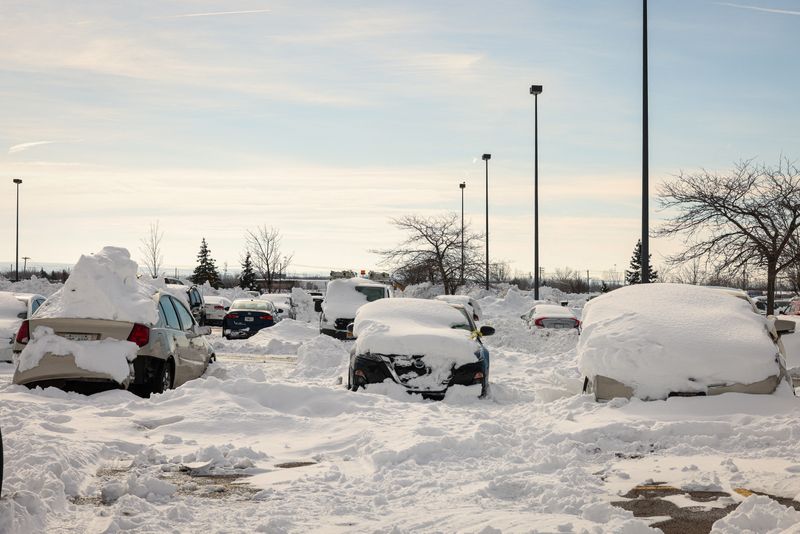
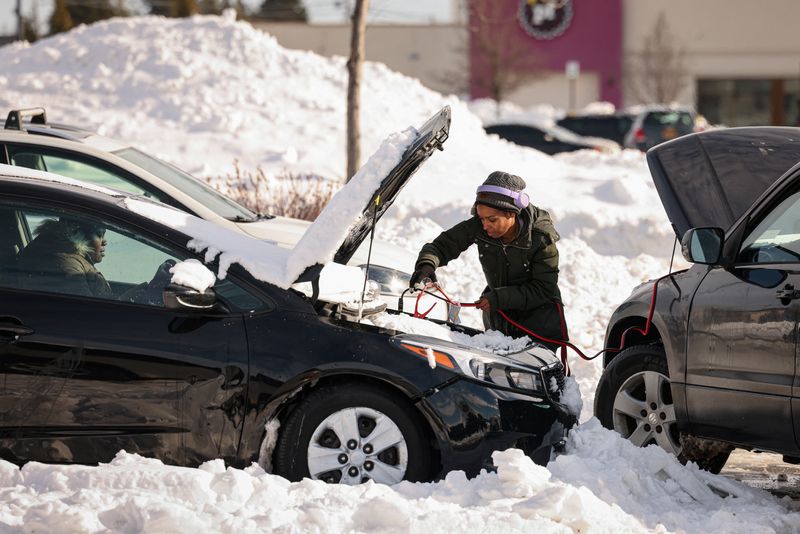
As the storm’s remnants tapered off to flurries early on Wednesday, the National Weather Service reported that Buffalo, ground zero of the storm, had received more than 4-1/2 feet (140 cm) of snow since late last week. But howling winds piled up drifts far higher across the region, burying hundreds of vehicles, including snow plows, ambulances and tow trucks.
The mercury climbed above freezing on Wednesday, and forecasts called for the thaw to continue with spring-like temperatures and showers likely by week’s end. The abrupt shift was likely to cause flooding and ice jams on local creeks while rapidly turning the region’s frozen landscape to slush.
“We’re actually expecting a rapid melt over the next two days, because we’re going to hit 50 degrees (Fahrenheit),” Poloncarz said. “We are preparing with the state for the possibility of flooding.”
A driving ban remained in effect for Buffalo with military and New York City police officers called in to wave cars off the road and turn away traffic trying to enter the city. But Poloncarz said the ban would be lifted at 12:01 a.m. EST on Thursday, replaced by a “travel advisory.”
Even for a region accustomed to heavy bouts of “lake-effect” snow – the result of moisture picked up by frigid air moving over warmer lake waters – the latest blizzard ranked as one of the most paralyzing ever in Western New York.
In terms of its ferocity, duration and death toll, the Christmas storm exceeded a 1977 blizzard that killed nearly 30 people and was the local benchmark against which all such weather events had since been measured.
This week’s thaw was part of a larger warming trend unfolding across the eastern third of the United States and will extend past New Year’s Day, with temperatures remaining largely above freezing, said Josh Weiss, a meteorologist with the NWS Weather Prediction Center in Maryland.
NWS forecasts called for potentially excessive rainfall and heavy mountain snow sweeping much of the West Coast beginning on Thursday, powered by a “potent atmospheric river” expected to hit central and northern California and southwestern Oregon hardest.
Showers and thunderstorms are expected in the Gulf Coast and lower Mississippi Valley, the weather service said.
(Reporting by Lindsay DeDario in Buffalo and Rich McKay in Atlanta; Writing and additional reporting by Steve Gorman in Los Angeles; Editing by Donna Bryson, David Gregorio, Leslie Adler and Himani Sarkar)