Hurricane Erin spins off East Coast as Outer Banks brace for storm surge and Jersey Shore watches closely
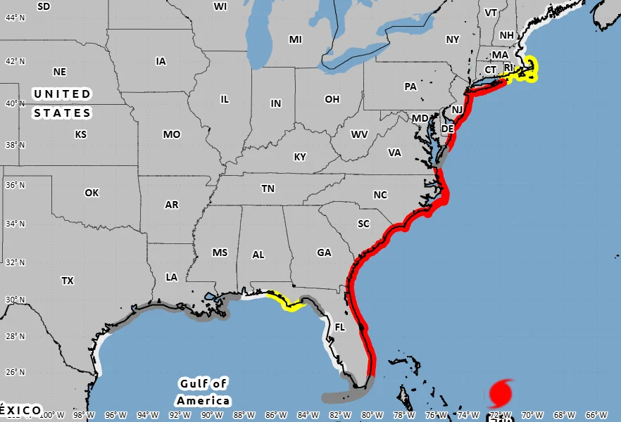
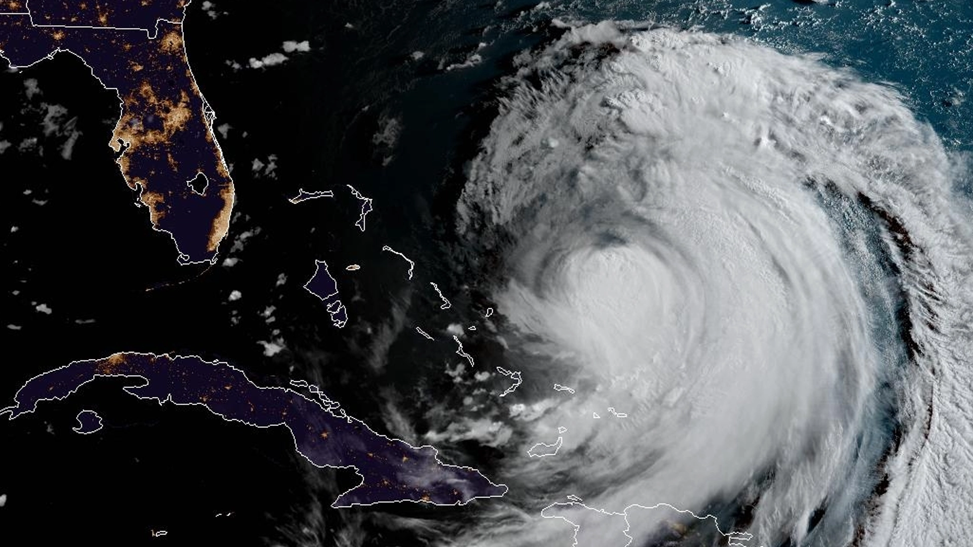
Cape Hatteras, NC — Hurricane Erin continued its northward churn through the Atlantic on Tuesday, threatening dangerous surf and coastal flooding from the Bahamas to the U.S. East Coast, as tropical storm warnings and storm surge alerts were issued for parts of North Carolina’s Outer Banks ahead of the storm’s closest approach late Wednesday.
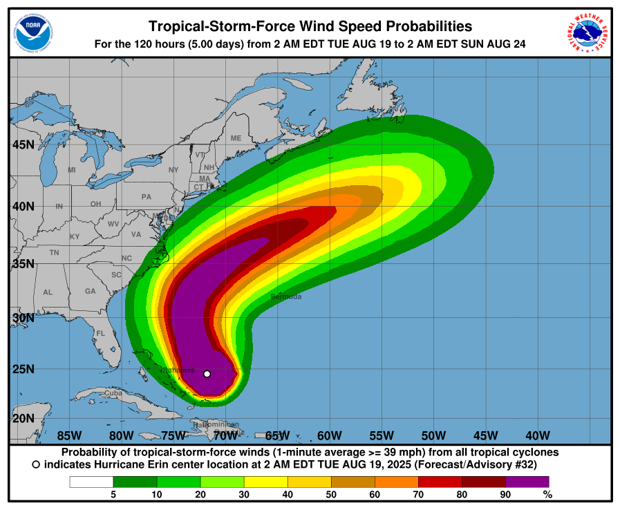
The storm, packing sustained winds of 65 mph as of early Tuesday morning, is not forecast to make landfall along the U.S. mainland, but its broad wind field and outer rain bands are already impacting areas as far north as the Mid-Atlantic. The National Hurricane Center warns that life-threatening rip currents are expected along beaches from Florida to Rhode Island over the coming days, with large swells creating dangerous surf conditions.

Tropical storm-force winds are expected to reach the Outer Banks late Wednesday or early Thursday, prompting watches for storm surge and flooding from Cape Lookout to Duck, NC. Forecast surge levels could peak at 2 to 4 feet above ground in some low-lying areas, especially near inlets and sounds.
While the hurricane’s center is projected to remain offshore, residents in eastern New Jersey, coastal Maryland, Virginia, Long Island, and southern New England are advised to monitor the storm closely. These areas could see periods of heavy rain, high surf, and gusty winds Thursday into Friday as Erin tracks northeastward, passing just off the coastline.

In the Caribbean, the storm has already brought tropical storm conditions and flooding rains to the Turks and Caicos and parts of the Bahamas, with flash flooding reported in low-lying areas. Conditions are expected to improve by Tuesday night as the storm pulls away.
Forecasters emphasize that while a direct strike to the East Coast remains unlikely, the impacts from Hurricane Erin could still be felt hundreds of miles inland, particularly in the form of coastal flooding, beach erosion, and marine hazards.
––
Key Points
- Hurricane Erin will pass offshore but bring tropical storm conditions to North Carolina’s Outer Banks late Wednesday
- Dangerous surf and rip currents are expected along the U.S. East Coast from Florida to Rhode Island
- Eastern New Jersey, Long Island, and parts of the Mid-Atlantic may see heavy rain, gusty winds, and flooding
Hurricane Erin won’t hit the East Coast directly but packs a punch from the beaches to the bays.
