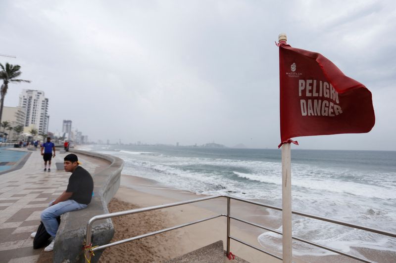
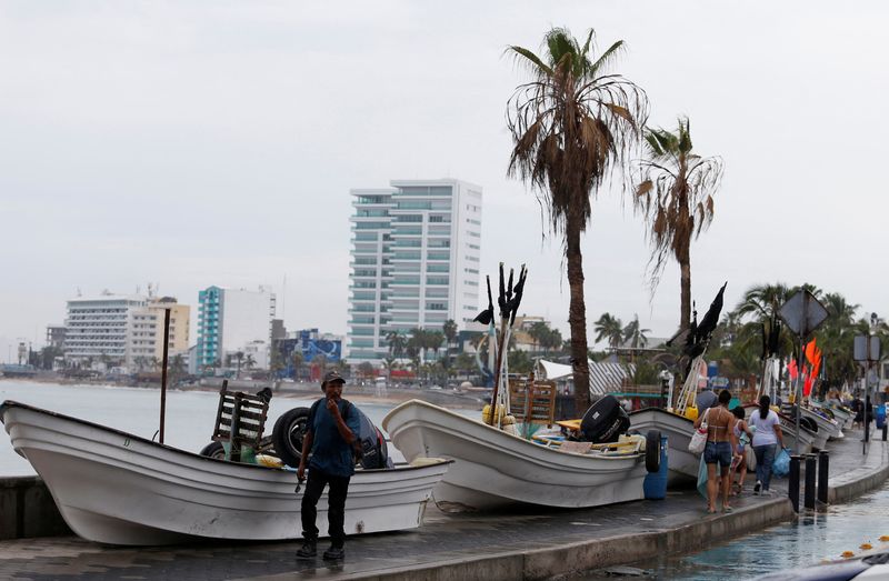
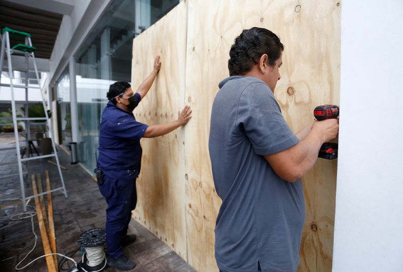
MEXICO CITY (Reuters) – Hurricane Orlene barreled toward Mexico’s southwestern coast as a dangerous Category 3 storm and is expected to dump torrential rains even as it is forecast to weaken in the coming days, the National Hurricane Center (NHC) said on Sunday.
Orlene, which is packing maximum sustained winds near 125 miles per hour (205 km per hour), with higher gusts, is projected to pass near or over Mexico’s Islas Marias Sunday night or Monday morning, the Miami-based NHC said in its latest public advisory.
“Orlene has likely peaked in intensity,” said the NHC.
Despite forecast weakening, the storm is seen reaching mainland Mexico’s coast as a hurricane on Monday.
“After landfall, rapid weakening is expected and the low-level center should dissipate over the mountainous terrain of southwestern Mexico in 60-72 hour,” said the NHC, adding that torrential rains could lead to flash flooding, as well as possible landslides in areas of rugged terrain.
Islas Marias could see 6 to 10 inches (15 to 25 cm) of rain, the Mexican states of Nayarit and Sinaloa 3 to 6 inches, with local amounts of up to 10 inches, and Jalisco and Colima some 1 to 3 inches, with isolated areas of as much as 5 inches.
The storm was currently located 95 miles southwest of Cabo Corrientes, Mexico.
Mexico’s civil protection agency announced on Twitter the closure of ports in Nayarit, Jalisco and Colima.
(Reporting by Valentine Hilaire; Editing by Anthony Esposito and Lisa Shumaker)