
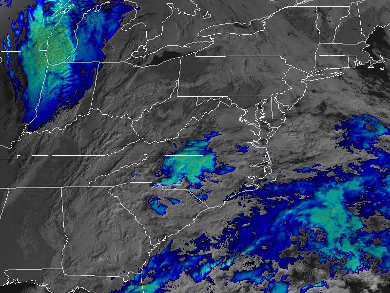
New Jersey is set to experience a stretch of wet and unsettled weather through Friday, with significant rainfall beginning tonight before conditions gradually improve over the weekend. Today remains mostly cloudy, with temperatures reaching a mild high near 62°F, accompanied by light easterly winds. However, as night falls, a substantial rainfall event is expected to begin after 10 PM. This rain may be heavy at times, with potential accumulations between three-quarters to one inch by early morning. Winds will shift from east to northwest and intensify slightly, reaching up to 15 mph, with a low temperature around 43°F.
On Thursday, lingering showers in the early morning hours are likely to taper off by 8 AM, leaving a mostly cloudy sky. The high temperature will drop to around 54°F, and brisk west winds at 15 mph, with gusts up to 25 mph, will add a chill to the air. Rainfall amounts could total up to half an inch. By Thursday night, the chance of additional showers decreases but remains possible, with temperatures dipping to a colder 33°F as gusty winds persist.
Friday will bring another round of showers, particularly in the afternoon, under mostly cloudy skies. The high temperature will hover near 45°F, while southwest winds gusting up to 30 mph will create a blustery feel. Rainfall amounts are expected to be minimal, less than a tenth of an inch. Overnight into Saturday, temperatures will fall to near freezing, with lingering showers diminishing.
The weekend offers relief from the rain. Saturday will see partly sunny skies and a return to slightly milder conditions, with a high near 54°F and a low of 35°F at night. By Sunday, mostly sunny skies and a high near 55°F signal a calmer and more seasonable end to the week.
This rainy stretch aligns with typical November patterns, where moderate precipitation is not uncommon. However, tonight’s expected rainfall exceeds the average daily accumulation for this time of year, offering a notable deviation from typical trends. As the storm system moves out, the late-week drop in temperatures also reflects the seasonal shift toward winter.