
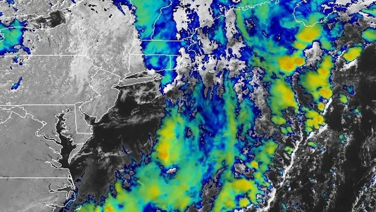
TRENTON, N.J. – New Jersey residents can expect a mostly pleasant stretch of late-summer weather over the next three days, with only a slight chance of showers and thunderstorms Sunday before sunshine dominates the forecast through Tuesday.
Sunday’s forecast calls for a slight chance of showers and thunderstorms before 1 p.m., followed by mostly sunny skies. High temperatures are expected to reach around 83 degrees with a southwest wind of 5 to 10 mph. The chance of precipitation is just 20 percent.
Sunny and comfortable start to the week
After any early showers exit Sunday, clear skies are expected overnight with temperatures falling to around 62 degrees as west winds diminish to around 5 mph.
- Slight chance of showers and thunderstorms Sunday morning before skies clear.
- Sunny, dry weather is expected Monday and Tuesday across New Jersey.
- Comfortable overnight lows in the upper 50s to lower 60s will accompany daytime highs near 81 degrees.
Monday will feature abundant sunshine with a high near 81 degrees and southwest winds between 5 and 10 mph. Monday night will remain mostly clear, with temperatures dropping to around 59 degrees as winds become light and variable.
Dry weather continues into Tuesday
Tuesday’s forecast remains unchanged, with sunny skies and a high near 81 degrees. A light west wind around 5 mph will keep humidity levels comfortable before another mostly clear night brings lows near 60 degrees.
The extended stretch of dry weather should provide favorable conditions for outdoor activities, travel and beach visits across much of the Garden State.
Will it rain in New Jersey today? There is a 20 percent chance of showers and thunderstorms before 1 p.m. Sunday. The remainder of the day is expected to be mostly sunny.
What will temperatures be this week? Highs will range from 81 to 83 degrees through Tuesday, with overnight lows between 59 and 62 degrees.
Will the weather stay dry? Yes. After Sunday’s slight chance of showers, the forecast calls for sunny and dry conditions through at least Tuesday.
Sources: National Weather Service