
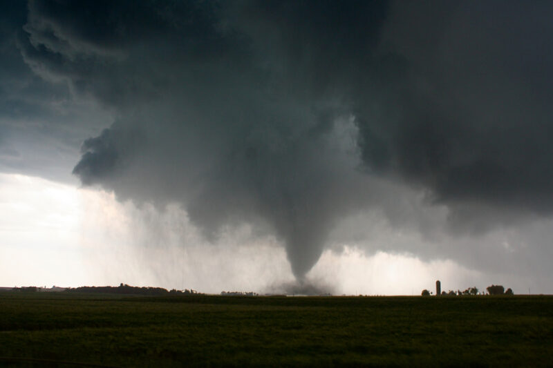
MOUNT HOLLY, N.J. – Residents across much of New Jersey are being urged to prepare for a potentially dangerous day of severe weather as the National Weather Service has issued a Flood Watch covering large portions of the state beginning at 10 a.m. Saturday, with forecasters also warning that isolated tornadoes are possible.
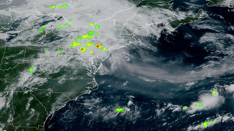
The Flood Watch remains in effect through late Saturday night as multiple rounds of showers and thunderstorms are expected to move across the region. Meteorologists say some storms could produce 2 to 3 inches of rain in as little as one to two hours, creating a significant risk of flash flooding.
Tornadoes, damaging winds possible
The National Weather Service says today’s storms could bring damaging wind gusts, frequent lightning, large hail, and isolated tornadoes.
Somerset County officials warned residents that conditions could support an EF2 tornado and urged people to have multiple ways to receive emergency alerts throughout the day.
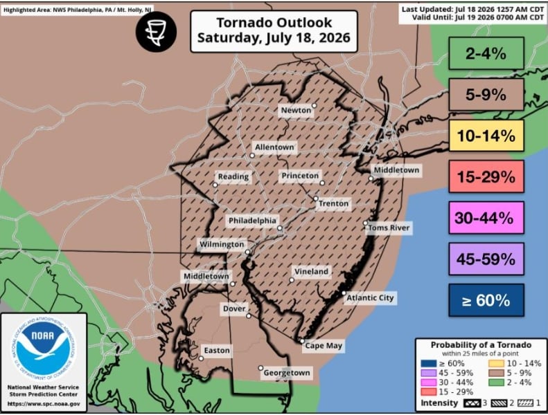
“A strong EF2 tornado is also possible for our area,” the Somerset County Office of Emergency Management said. “In the event there is a tornado, go to your basement, safe room or an interior room away from windows.”
The county said emergency management officials are closely monitoring the evolving forecast and will provide updates as needed.
Flooding expected in low-lying areas
The Flood Watch covers much of central, northern, and southern New Jersey, including Sussex, Warren, Morris, Hunterdon, Somerset, Middlesex, Mercer, Monmouth, Ocean, Burlington, Camden, Gloucester, Salem, and surrounding counties.
Forecasters warn excessive rainfall could quickly overwhelm storm drains and small streams, leading to flooding in urban areas, roadways, creeks, and other low-lying locations.
The National Weather Service advises motorists never to drive through flooded roadways, as water depth and road conditions can be difficult to judge.
Air quality alert issued for Monmouth County
In addition to the severe weather threat, the New Jersey Department of Environmental Protection has issued a Code Orange Air Quality Alert for Monmouth County.
The advisory means ozone levels may become unhealthy for sensitive groups, including children, older adults, and people with asthma, heart disease, or other respiratory illnesses. Residents in those groups are encouraged to limit prolonged outdoor activity.
What happens next
Thunderstorms are expected to continue into Saturday night before conditions improve Sunday. The forecast calls for mostly sunny skies with temperatures in the mid-80s after the storm system exits the region.
Why it matters
Today’s combination of flash flooding, severe thunderstorms, and possible tornadoes presents one of the more significant severe weather threats New Jersey has faced this summer. Emergency officials are urging residents to closely monitor forecasts, enable emergency alerts on mobile devices, and seek shelter immediately if a Tornado Warning is issued.
About this forecast
This report is based on forecasts and advisories issued by the National Weather Service in Mount Holly, the New Jersey Department of Environmental Protection, and the Somerset County Office of Emergency Management. Weather conditions and warnings may change throughout the day as storms develop.