
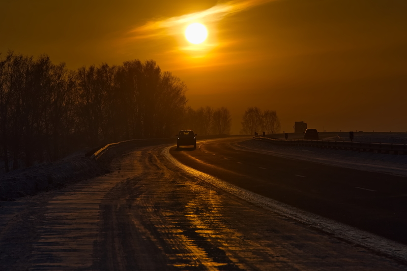
The National Weather Service has issued a Special Weather Statement regarding the potential for spotty icing overnight in areas of New Jersey and southeastern Pennsylvania. Temperatures have fallen below freezing in some locations, creating the possibility of freezing rain as precipitation begins to move in. However, as the night progresses, temperatures are expected to rise above freezing, which should mitigate the icing threat. Nonetheless, motorists are urged to exercise caution, as slick spots may develop on untreated surfaces before the temperature climbs.
For the remainder of the night, rain is expected to develop after 3 a.m., accompanied by patchy fog forming after 2 a.m. Temperatures will hover near a low of 31 degrees, with southeast winds at about 5 mph. Precipitation is likely at 80%, although amounts are expected to remain light, under a tenth of an inch.
Saturday will bring steady rain and patchy drizzle, with areas of fog persisting throughout the day. Temperatures will rise significantly, reaching a high near 50 degrees. Winds will shift slightly from the southeast to the southwest at 5 mph by the afternoon. Rainfall totals could accumulate between a tenth and a quarter of an inch.
Saturday night continues the trend of damp conditions, with rain likely in the evening transitioning to drizzle later on. Patchy fog will remain, and temperatures will stay mild for December, only dipping to around 45 degrees. Winds will be light and southerly, with precipitation chances decreasing to 60%. Additional rainfall amounts between a tenth and a quarter of an inch are possible.
Sunday sees a break in the persistent rain, but scattered showers remain in the forecast. Clouds will dominate the sky, and temperatures will rise to an unseasonably warm high near 62 degrees. A gentle south wind at 5 to 10 mph may gust up to 20 mph, with precipitation chances at 50%. Rainfall amounts should stay modest, with less than a quarter-inch expected.
Compared to the region’s late-December norms, which typically feature highs in the low to mid-40s and lows in the upper 20s, this weekend’s weather is notably warmer and wetter. The mild temperatures and rain contrast sharply with the frosty and potentially snowy conditions often associated with this time of year, reflecting the variability of winter weather in the Mid-Atlantic region.