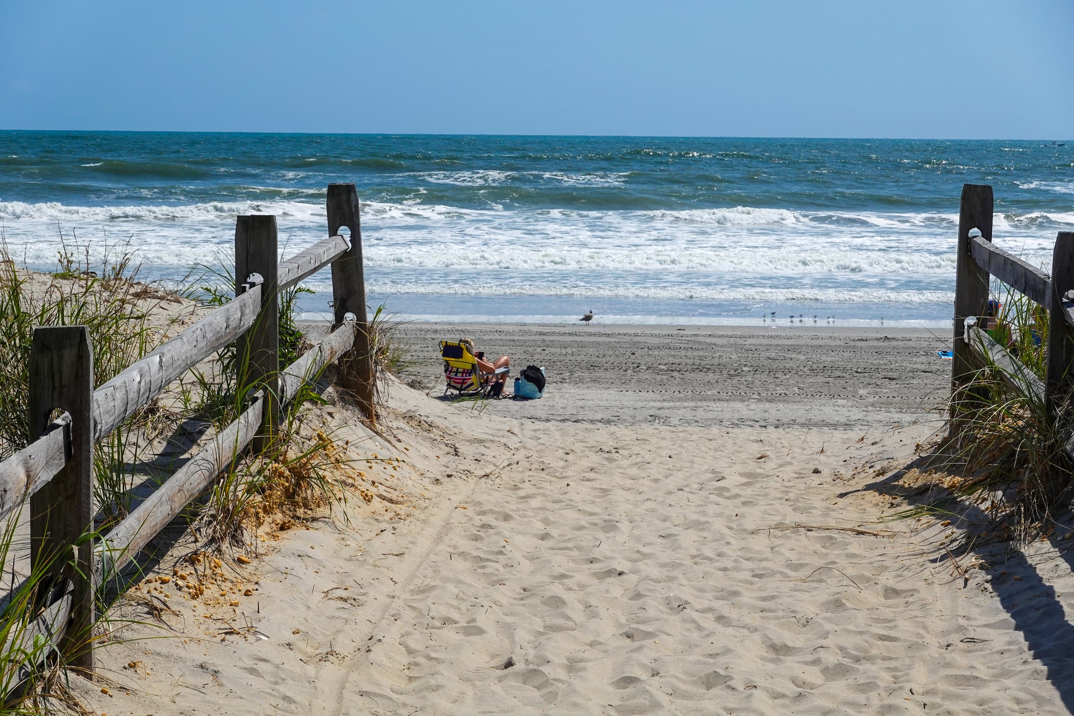
BELMAR, N.J. – Labor Day is over, but somebody forgot to tell the weather along the Jersey Shore. Tuesday is shaping up as one of those September days that rewards anyone who can sneak away to the beach, with sunshine, temperatures near 80 and unusually quiet surf conditions.
The National Weather Service says high pressure will keep the region tranquil through Wednesday before a cold front arrives Thursday. Tuesday’s beach forecast calls for a low risk of rip currents along the New Jersey coast, generally 1- to 2-foot or smaller surf and a high UV index.
- Beaches from Monmouth County through Cape May County have a low rip-current risk Tuesday, although dangerous currents can still occur near jetties, piers and other structures.
- Shore temperatures should hover around 80 to the lower 80s Tuesday, with mostly sunny skies and little or no thunderstorm threat.
- Wednesday turns warmer before a cold front brings the chance for showers and thunderstorms Thursday.
Tuesday Is About as Good as September Beach Weather Gets
Along the northern Shore, the National Weather Service expects temperatures around 80 at beaches in eastern Monmouth County, with surf around one foot.
Water temperatures there remain in the mid-70s — warmer than the air may be during parts of the morning.
On Long Beach Island, the forecast is similarly quiet, with a low rip-current risk and small surf.
Farther south, beaches around Atlantic City should reach the lower 80s with 1- to 2-foot surf. Ocean City and the Atlantic coast of Cape May County are looking at temperatures around 80, mostly sunny skies and 1- to 2-foot waves. )
There is one September catch: the sun is still strong.
The UV index is rated high Tuesday, meaning beachgoers can still burn quickly despite being past the traditional summer season.
And a low rip-current risk doesn’t mean zero risk.
The National Weather Service warns that “life-threatening rip currents often occur in the vicinity of groins, jetties, reefs, and piers.” (Weather.gov)
That’s particularly worth remembering in September, when lifeguard coverage can be reduced or eliminated at beaches that were fully staffed during July and August.
Wednesday Gets Even Warmer
The summerlike weather isn’t disappearing Wednesday.
High pressure moves offshore as a cold front approaches from the west, allowing winds to turn southwesterly and temperatures to climb.
The National Weather Service expects mostly sunny conditions, with inland South Jersey temperatures reaching the mid-to-upper 80s. Along the coast, highs should generally remain in the lower 80s.
Beach conditions should remain relatively favorable Wednesday as well.
The current surf forecast keeps the rip-current risk low, with surf around one foot in eastern Monmouth County and 1 to 2 feet along Atlantic coastal Cape May County.
South and southwest winds will become more noticeable during the afternoon, however, as the weather pattern begins to change. (Weather.gov)
Cold Front Brings a Change Thursday
Thursday is when this little September extension of summer becomes less certain.
A cold front is forecast to cross the region, bringing the potential for a round of showers and thunderstorms.
“High pressure will result in tranquil conditions through Wednesday,” the National Weather Service said in its Tuesday morning forecast discussion. “A cold front will cross the area Thursday bringing the potential for a round of showers and storms.”
It won’t necessarily be a washout.
Current forecasts keep much of Thursday warm, with temperatures well into the 80s inland before showers become more likely later in the day.
Behind the front, Friday looks more comfortable, with lower humidity and plenty of sunshine expected across much of New Jersey.
For anyone staring out an office window Tuesday, however, that’s getting ahead of things.
It’s Sept. 8. The ocean is still warm, the surf is small and the Jersey Shore has another summer day to give.
Tuesday brings low rip-current risk along the Jersey Shore.
Surf is generally around one foot to 2 feet, although dangerous localized currents remain possible near jetties, piers and other structures.
Wednesday could be even warmer.
Temperatures climb into the mid-to-upper 80s inland while Shore communities remain closer to the lower 80s under mostly sunny skies.
The weather begins changing Thursday.
A cold front crossing New Jersey could produce showers and thunderstorms before less humid conditions arrive behind it.
Sources: National Weather Service Mount Holly Surf Zone Forecast; National Weather Service Mount Holly Area Forecast Discussion