
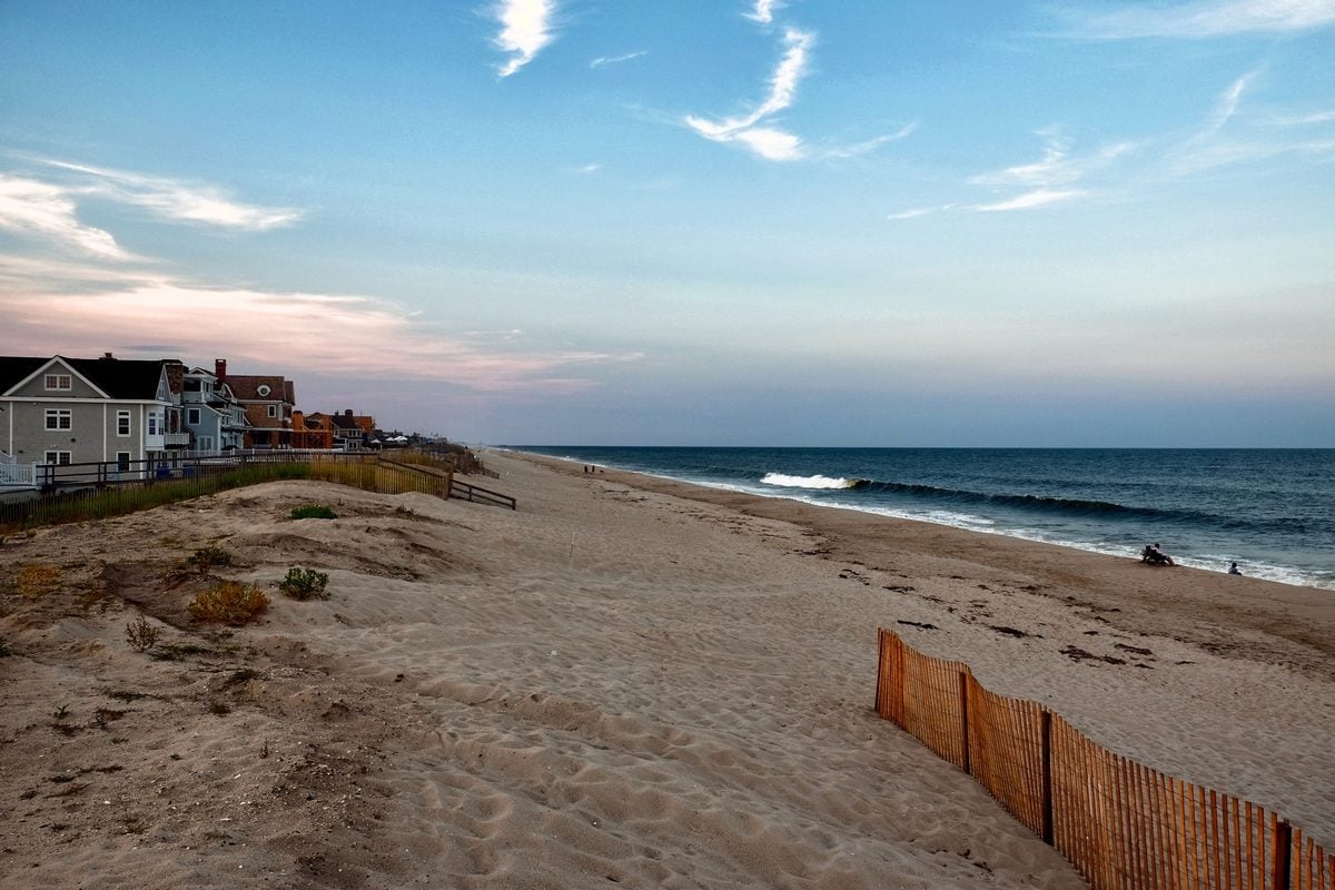
Ocean County remains under a coastal flood advisory through Tuesday afternoon as shoreline communities assess flooding, erosion and storm damage left behind by the weekend nor’easter.
SEASIDE HEIGHTS, N.J. — The nor’easter has finally moved away from New Jersey, but the Jersey Shore is still dealing with its aftermath as coastal flooding, beach erosion and cleanup efforts continue Tuesday.
The National Weather Service in Mount Holly kept a Coastal Flood Advisory in effect for Ocean and Coastal Ocean counties through 2 p.m., warning that up to a half-foot of inundation remains possible in low-lying areas near shorelines, back bays and tidal waterways.
The advisory is a step down from the Coastal Flood Warning that covered the area Monday, when the Weather Service warned of up to a foot of inundation in some vulnerable locations.
Back Bays Still Running High
Even though the heavy rain and strongest winds have ended, water trapped in the back bays is taking longer to drain.
Forecasters said spotty minor flooding is still possible around high tide, particularly along roads and neighborhoods that routinely flood during prolonged onshore flow.
At advisory levels, water can begin covering the most vulnerable coastal and bayside roads, and temporary closures remain possible.
Drivers are being urged not to leave vehicles in flood-prone locations and not to attempt to drive through standing water.
Shore Communities Turn to Cleanup
Across the Jersey Shore, the focus is shifting from storm preparation to cleanup.
The weekend storm pushed water into low-lying communities, flooded roads and pounded beaches with heavy surf and persistent northeast winds.
Shoreline communities are also assessing erosion after multiple tide cycles stripped sand from beaches and pushed water farther inland than normal.
In Ocean County, flooding was reported around bayfront and barrier-island communities as the storm lingered through the weekend and into Monday.
The storm also created marine problems. Boats broke free from moorings and lifts, including a vessel that drifted roughly 8.5 miles from Seaside Heights before washing ashore in Waretown.
Weather Improves Quickly
The weather pattern now shifts sharply in the opposite direction.
Tuesday is expected to be partly sunny with a high near 72 and only a light northwest breeze.
Tuesday night will turn partly cloudy with temperatures falling to around 57.
Wednesday should be mostly sunny with a high near 76, followed by warmer conditions later in the week.
Thursday could reach 81 degrees, while Friday is forecast to climb to around 84 under mostly sunny skies.
That stretch of dry and increasingly warm weather should give municipalities, homeowners and businesses several days to deal with storm debris, flooded properties and beach damage.
Flood Risk Should Continue to Ease
The improving weather does not immediately eliminate tidal flooding.
Water levels along the back bays can remain elevated after the ocean-facing impacts have subsided, particularly after several days of persistent wind pushing water toward the coast.
According to the National Water Prediction Service, water levels are expected to gradually fall as the wind relaxes and the coastal system moves farther away.
By later Tuesday, the remaining flooding threat should become increasingly isolated.
For now, the storm is gone, but the cleanup is just getting started.
