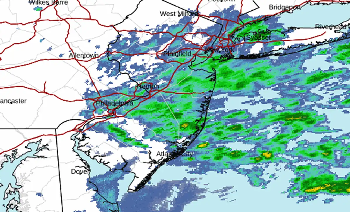
One more round of showers will cross New Jersey Sunday before several dry, sunny days arrive, giving the state a chance to dry out after last weekend’s nor’easter dumped as much as 8 inches of rain along the Shore.
TOMS RIVER, NJ — New Jersey is almost done with the rain.
Scattered showers will hang around Sunday afternoon and could linger into the first part of the night, but the stubborn stretch of wet weather that began with last weekend’s nor’easter is finally breaking.
By Monday, northwest winds will push the damp Atlantic air offshore. Sunshine returns, humidity drops and the state begins several days without meaningful rain.
Nor’easter Dumped More Than 8 Inches in Monmouth County
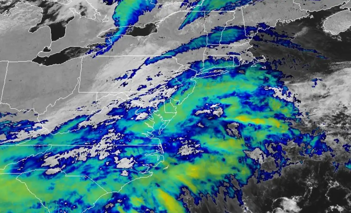
Last weekend’s storm delivered the bulk of the rain.
Final observations from the National Weather Service showed an exceptionally wet corridor through Monmouth County, where some gauges recorded more than 8 inches over the storm.
A gauge west-northwest of Neptune City measured 8.70 inches over 72 hours. Bradley Beach recorded 8.35 inches, Neptune City 8.25 inches and Spring Lake Heights just over 8 inches.
Other Monmouth County totals included 6.61 inches in Long Branch, 6.50 inches near Colts Neck, 6.39 inches near Howell and nearly 6 inches in Freehold Township.
The National Weather Service issued flood warnings as runoff pushed streams and the Manasquan River above flood stage.
Ocean County Was Soaked Too
Ocean County also picked up several inches.
Ocean County Airport measured 3.84 inches from Saturday through Monday morning, while earlier observations showed more than 2 inches had already fallen in Lakewood, Jackson and Brick before the storm was finished.
Rainfall was highly uneven. Coastal Monmouth took the worst of the storm, while areas farther inland and north received considerably less.
Burlington County’s South Jersey Regional Airport measured 3.83 inches. Cape May County Airport recorded 2.89 inches.
The result was a broad soaking across much of central and southern New Jersey, with the heaviest totals concentrated near the northern Jersey Shore.
It Has Felt Wet Even When It Wasn’t Pouring
The nor’easter moved out, but New Jersey never got much of a clean reset.
Cloud cover, high humidity, damp ground and additional showers kept much of the state feeling wet through the week.
That is why Sunday’s rain may feel like an extension of the same stormy pattern even though it is a separate, much weaker system.
This afternoon’s rain should be light.
Sunday: One More Gray Day
Sunday afternoon stays cloudy with a chance of showers and highs near 65 degrees.
Northeast winds around 10 mph will keep the day cool and damp. Most locations should receive less than a tenth of an inch from the remaining showers.
Rain chances fall Sunday night.
A slight chance of showers remains through about 2 a.m., followed by areas of fog. Temperatures fall to around 55 degrees as winds become calm.
Monday: Finally, Sunshine
Monday is the turnaround.
Skies start partly sunny and gradually clear, with highs around 70 degrees.
A northwest wind of 5 to 10 mph will bring in much drier air.
Monday night turns clear and noticeably cooler, with lows around 45.
For residents trying to dry lawns, clean up storm debris or simply get through a day without an umbrella, Monday afternoon should provide the first real break.
Tuesday: Cooler and Completely Dry
Tuesday will be sunny with highs around 63 degrees.
Winds remain light out of the northwest.
Tuesday night stays mostly clear with temperatures dropping into the mid-40s.
No rain is expected.
Wednesday: Another Sunny Fall Day
Wednesday continues the dry stretch.
Sunshine dominates with highs near 69 degrees.
After the nor’easter, flooding, repeated showers and a week of damp weather, New Jersey should finally have several consecutive days to dry out.